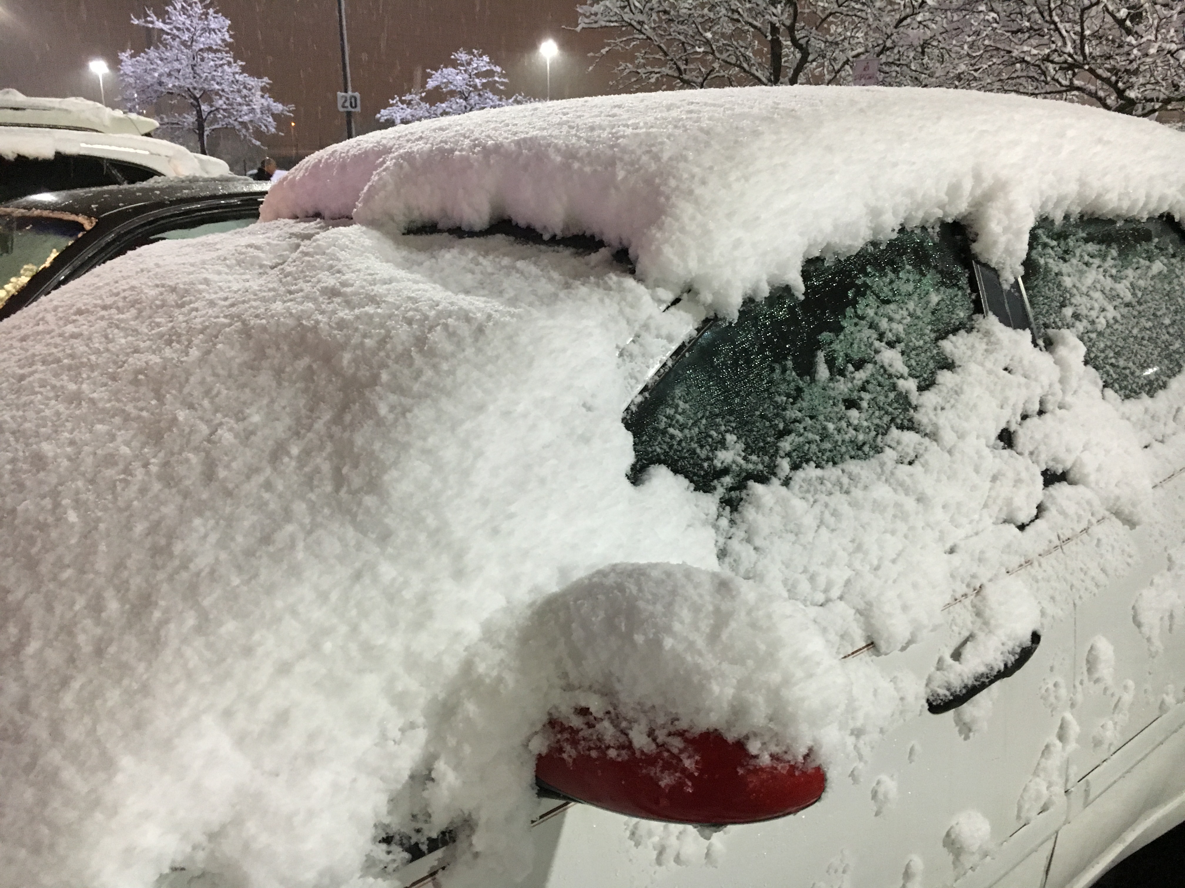
Some towns in New Jersey got a small taste of winter on Nov. 28, when brief snow showers dropped a light coating of snow. It didn’t amount to much — just flurries in many places, only one-tenth of an inch in parts of Morris and Sussex counties, and two-tenths of an inch in a few spots in Mercer County.
Since it only takes one-tenth of an inch to be classified as “measurable snow,” the National Weather Service considered that to be the first snowfall of the season in the Garden State.
That light dusting arrived earlier than usual. Based on historical weather records, northern New Jersey typically gets its first measurable snow during the first week of December. (Dec. 2 is the average date of the first tenth of an inch of snow in the Sussex area, and Dec. 7 is the average date in the Newark area.)
In the New Brunswick area of Central Jersey, the first measurable snow usually arrives around Dec. 8, according to snow data from the National Weather Service and the office of the New Jersey State Climatologist at Rutgers University.
Down in South Jersey, in the Atlantic City area, the first measurable snow on average arrives Dec. 19.
First full inch of snow
When it comes to getting 1 full inch of snow or more, the average date of the first arrival is Dec. 9 in the Sussex area, Dec. 16 in the Newark area, Dec. 18 in the New Brunswick area and Dec. 31 in the Atlantic City area, according to weather data.
The earliest first inch of snow was recorded in Sussex on Oct. 30 in 1925, in Newark on Oct. 29 in 2011, in New Brunswick on Oct. 26 in 1962, and in Atlantic City on Nov. 6 in 1953.
Latest inch of snow
Although it’s rare, once in a while it takes a few months for the first inch of snow to arrive in New Jersey. The latest first inch on record is Feb. 1 in Sussex (1955), Feb. 13 in Newark (1992), Feb. 24 in Atlantic City (1989) and March 19 in New Brunswick (1992).
Those stats don’t include an extremely rare year when when not even an inch of snow was measured the entire winter. That happened last winter (2022-23) in Atlantic City, when only three tenths of an inch of snow fell throughout the season, said Mat Gerbush, the assistant New Jersey State Climatologist at Rutgers University.
Bigger snowstorms
In case you’re wondering what the average date is for the first major snowstorm in New Jersey — with 6 inches or more piling up on the ground — weather service stats show it’s Jan. 18 in the New Brunswick area, Jan. 20 in the Atlantic City area and Jan. 22 in the Newark area.
Sometimes the first big snowstorm arrives much earlier. Weather service stats show as much as 6 inches of snow has fallen as early as Nov. 15 in Newark (2018), Nov. 23 in New Brunswick (1989) and Nov. 30 in Atlantic City (1967).
Current weather radar
Thank you for relying on us to provide the local weather news you can trust. Please consider supporting NJ.com with a voluntary subscription.
Len Melisurgo may be reached at LMelisurgo@njadvancemedia.com or @LensReality.
Crédito: Link de origem


Comentários estão fechados.