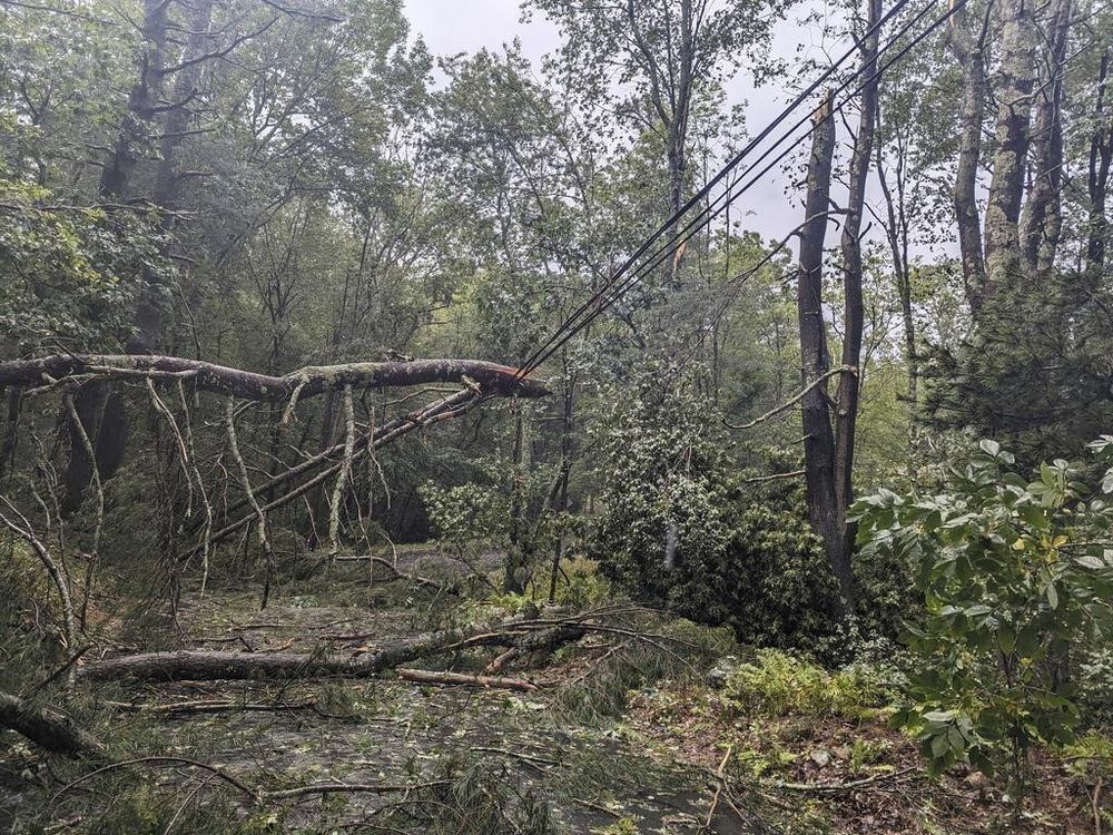
Residents of western Nova Scotia and southern New Brunswick are being warned to prepare for power outages and localized flooding as Hurricane Lee is expected to become a powerful post-tropical storm on Saturday when it makes landfall in the region.
We apologize, but this video has failed to load.
The Canadian Hurricane Centre in Halifax issued a tropical cyclone statement this morning saying Lee’s track could take the storm through an area anywhere between New Brunswick’s Grand Manan Island and Nova Scotia’s Shelburne County on Saturday night.
This advertisement has not loaded yet, but your article continues below.
The centre has repeatedly stressed that even though Lee is expected to transition from a Category 1 hurricane to a post-tropical storm, it will remain a threat, because the storm will expand and maintain much of its strength.
Environment Canada has issued hurricane watches for the southwestern Nova Scotia counties of Digby, Queens, Shelburne and Yarmouth, where hurricane-strength winds could gust as high as 120 kilometres per hour.
As well, a hurricane watch remains in effect for New Brunswick’s Grand Manan Island and the southern coast of Charlotte County, where gusts across the Bay of Fundy could also reach 120 kilometres per hour.
Residents of southwestern Nova Scotia and those living near the Bay of Fundy in New Brunswick are also being warned that significantly higher water levels could lead to localized flooding and dangerous surf.
Our website is the place for the latest breaking news, exclusive scoops, longreads and provocative commentary. Please bookmark nationalpost.com and sign up for our newsletters here.
Crédito: Link de origem


Comentários estão fechados.